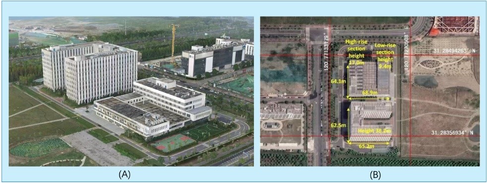
According to foreign media reports, a research team from the Aerospace Information Research Institute of the Chinese Academy of Sciences (AIR) has developed a new method for generating high-precision 3D city models using radar data, solving a long-standing challenge in urban surveying. This new technology, known as Geo-SETRA, which integrates artificial intelligence (AI) with architectural geometry, is capable of generating clearer and more complete images of urban landscapes. The related research findings have been published in the Journal of Remote Sensing.
Chinese Academy Develops New Method for High-Precision 3D City Modeling

Share this post on: